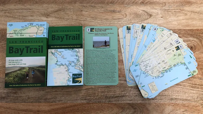
San Francisco Bay Trail
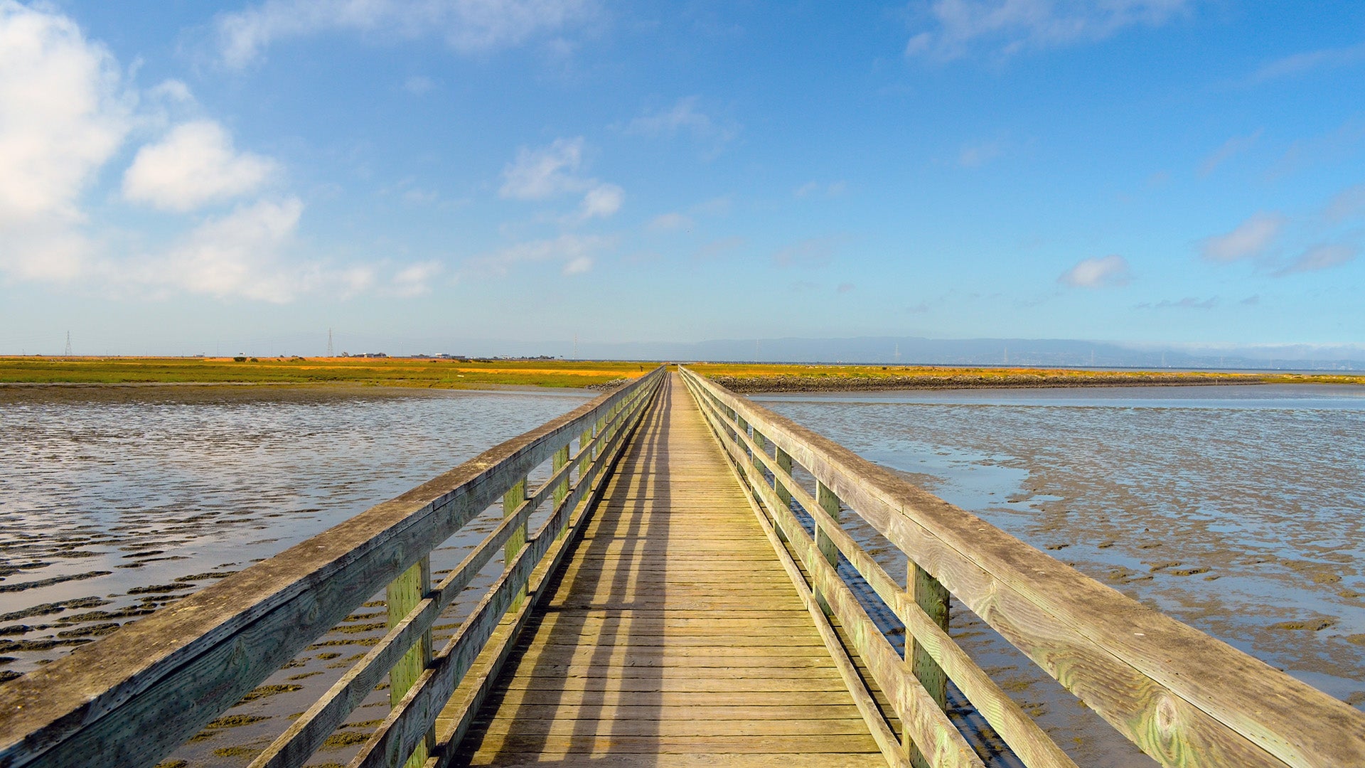
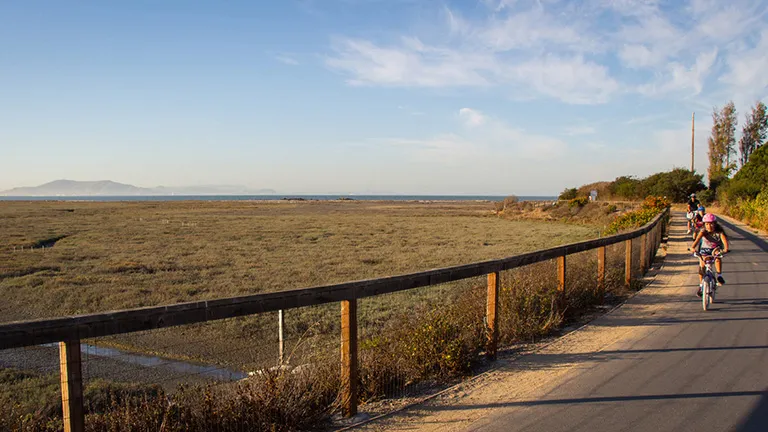
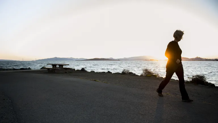
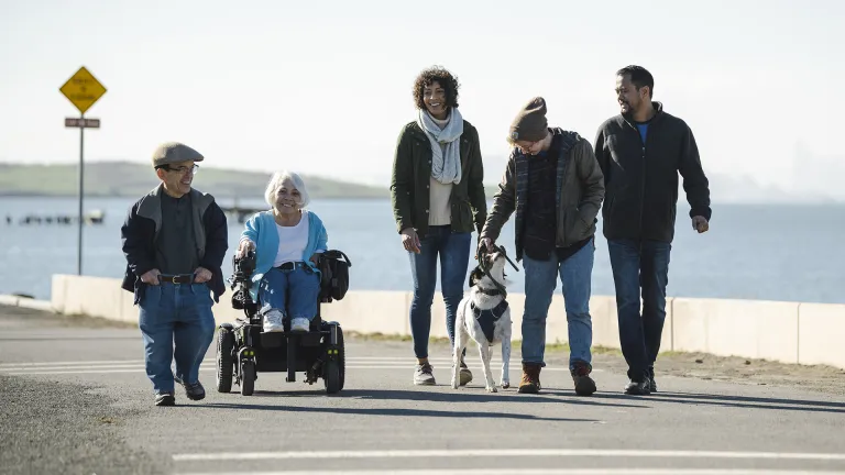
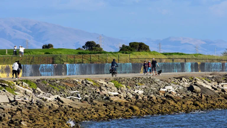
The San Francisco Bay Trail welcomes hikers, joggers, bicyclists, skaters and wheelchair users to more than 350 miles of trails that circle the bay.
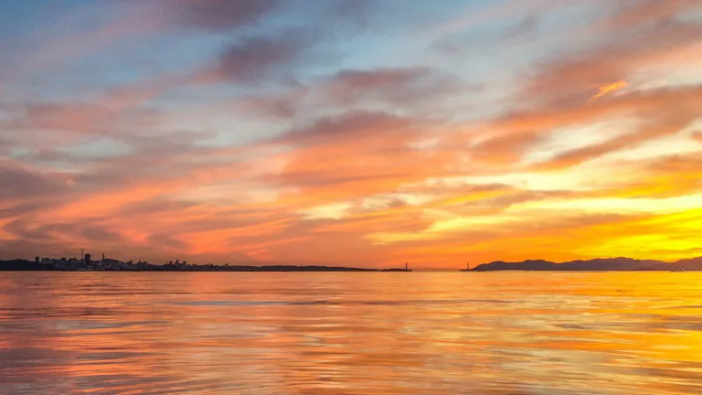
Get outside and enjoy what this region is known for around the world — breathtaking and inspiring views that offer unique experiences for everyone.
The vision? A total of 500 miles by foot or by wheel through 47 cities, across 7 toll bridges, along shorelines, BBQ spots, over 130 parks, remote locations and so much more.
Get on the trail, then tell your friends. They’ll thank you.
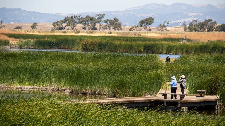
Looking for an experience to call your own? Walking, birding, dog parks, beaches, picnic areas, bicycle paths, fishing, water trails... easy to access paths and remote areas, too.
Zoom in with this interactive map. Find existing trails and plan your trip along the Bay. Icons will help you find train stations, parking, fishing, boat docks and more.
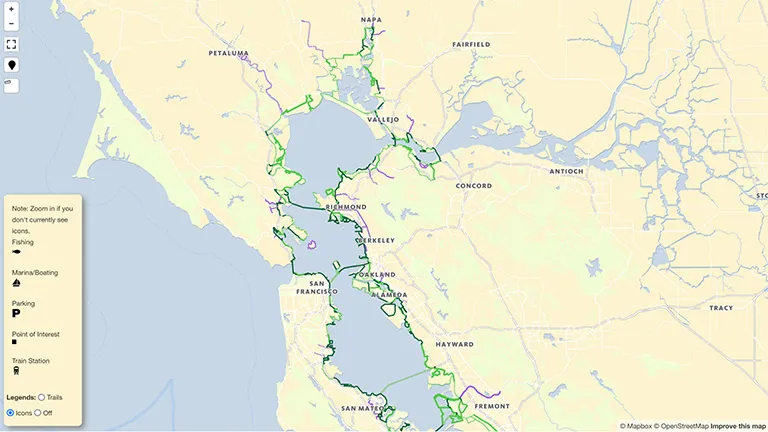
Don't know how to get there? We do. Our maps point the way to your next journey — whether rolling or strolling. And commute options for bicyclists, too.
The Bay Trail Design Guidelines and Toolkit 2.0 provide goals and direction for site planning and trail design to help achieve the vision of a 500-mile Bay Trail network.
Check out the News section of the MTC website to learn more about what’s happening with the Bay Trail.
A lot goes into the hundreds of miles that make up the Bay Trail, and you may have questions.
The history, the trail types and how you can get involved.

The Bay Trail Equity Strategy looks at how to develop a Bay Trail that is accessible and welcoming to all people in the Bay Area.
The Bay Trail Gap Closure Implementation Plan sets priorities for future work to complete the vision of a 500-mile Bay Trail network around the bay.
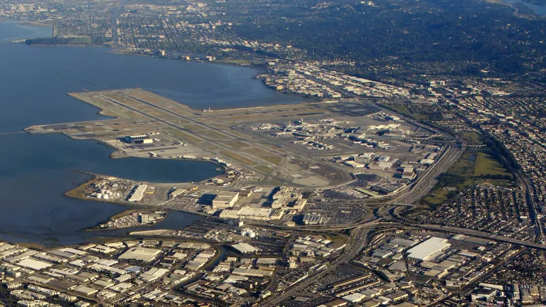
The Bay Trail SFO Gap Study will identify potential Bay Trail alignments to close the three-mile Bay Trail gap around San Francisco International Airport.
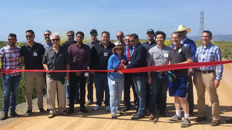
The Bay Trail is a joint project of MTC and the Association of Bay Area Governments (ABAG). The project engages with partners large and small across the region and coordinates efforts for the trail that include raising critical funds, building and managing the trails — and encouraging public participation.
San Francisco Bay is the jewel of our region — a natural resource, a source of beauty and a home for key transportation infrastructure — boats, bridges, ferries and more. It is a growing network of designated launching and landing sites for non-motorized boats around the Bay.